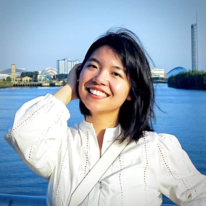
Dr Meiliu Wu she/her

Lecturer in Geospatial Data Science
Strategic Research Areas
I am a geospatial data scientist fascinated by how place, space and AI co-evolve. My research passion is building multimodal geospatial AI that learns jointly from text, imagery, maps, LiDAR and audio to give richer, more human-like readings of our environment. In the Glasgow Geospatial Lab we release open-source frameworks for fusing satellite, street-level and social-media data; recent projects support transport resilience by leveraging AI and digital twins to enhance situational awareness, as well as building a high-resolution, 3D tree map in Glasgow and evaluating their socio-ecosystem impacts based on the techniques of remote sensing, LiDAR, and citizen science. I am keen to partner with ecologists, health researchers, heritage scholars and XR developers so that AI moves beyond traditional GIS boundaries.
Within DiveIn CDT I envisage projects that are both technically deep and societally meaningful, including: (1) facilitating urban planning and development by ethically blending citizen images/videos with their textual input (series) based on semantic analysis, (2) training foundation models for climate-induced migration forecasting (e.g., during floods or storms), or (3) creating visual analytics that let non-experts interrogate geospatial AI. I supervise by co-designing research questions, encouraging rapid prototyping and open science, and meeting weekly to unblock problems. So far I have directly supervised 1 undergraduate, 9 MSc, and 4 PhD students; alumni are now either pursuing their PhD degrees or working at Ordnance Survey, UN-Habitat and AI start-ups.
EDI are cornerstones of my practice. I have completed all EDI trainings, served as School’s EDI representative, and attended the Women-in-AI mentoring circle linking Global South mentees with UK mentors. Every project is budgeted for accessibility, open licences and community co-creation.
Away from the lab you will find me smashing shuttlecocks or hiking Munros with a handheld spectrometer – still collecting data, just at one-metre resolution! These pursuits keep me grounded in the landscapes we study and help me model a healthy work–life balance for students.

